

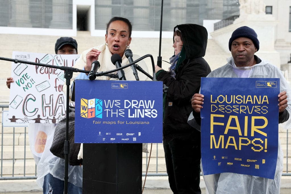

Georgia redistricting efforts were tabled earlier this summer as GOP lawmakers opted to wait and see how court battles play out in other states before making any moves. “We believe it would be wise to allow the judicial process to further develop in other states and evaluate how courts rule on newly-adopted district maps elsewhere,” said Senate President Pro Tem Larry Walker III. “With this guidance, we are confident that Georgia’s new districts will ultimately withstand legal scrutiny.”
A responsible approach, perhaps, but what’s the meaning of redistricting?
The Meaning of Redistricting
For congressional elections, as well as most state and local races, each state is divided into territories known as districts. Voters in each district choose the candidate whom they believe will best represent their area. Redistricting is a process that lawmakers use to adjust district boundaries.
The US House of Representatives has 435 seats, which means the United States has 435 districts. The number of districts each state has is determined by population, which is assessed through the US Census. Districts should have roughly equal populations, ensuring that each lawmaker represents a similar number of people.
The Census Bureau asks states if they have any redistricting plans every two years, and each state either maintains its current congressional map or submits changes, which the Bureau then applies to its geographic database. Governors and legislative leadership across the US assign nonpartisan liaisons to the Census Redistricting Data Program to assist with the adjustments.
Redistricting: A History
In the early United States, districts were often formed based on “the borders of towns or counties, or groups of towns and counties,” according to Loyola Law School. The university explained:
"The legislature was formed by assigning a certain number of representatives to each of these districts. So, for example, New York State’s 1777 Constitution assigned nine representatives to New York ‘city and county,’ ten to Albany ‘city and county,’ four to Queens County, two to Kings County, and so on."
Growth was often uneven as the population expanded, leaving some locales with smaller populations than others. Many states responded by adjusting representation or redrawing district boundaries to reflect those changes, while others left existing maps untouched.
Loyola explained that “sometimes districts stayed the same despite population shifts because of an underlying philosophy: several state Senate systems were modeled after the federal Senate, with representation for counties as such rather than the population therein.”
Some districts were adjusted – or not – based on the political implications of each decision, but in the 1960s, the US Supreme Court ruled that districts should have as close to an equal population as possible. As a result, district lines must be updated from time to time to reflect population changes. Today, those boundaries are redrawn after each decennial Census.


.jpg%20Australia&w=1920&q=75)